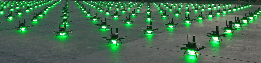
Calvitia has undertaken a number of development projects involving drones, specifically those used to perform large-scale public displays. The technology required to achieve displays on this scale may appear straightforward, however there are a number of areas where Calvitia has worked to improve workflow and reliability.
Design environment
Most drone shows start life in some form of CAD software which allows the position of drones to be set within a 3D space. The designer will move drones around to create shapes, often making use of tools within the design environment to assign drones to vertices of an imported shape. Movements are coordinated according to a timeline, so one shape can transition to another. Drones can be assigned a colour, again relative to the timeline.
One of the major challenges is transitioning from one shape to another. Drones must be able to move from one point to another without crashing into a neighbouring drone. In theory, this process can be achieved manually, however it quickly becomes cumbersome when hundreds or thousands of drones are involved. Calvitia has developed algorithms to compute the most effective transition between shapes, respecting minimum distances between drones at all stages of the move.
A variety of tools have been developed for use within Blender, an open-source 3D design environment. These tools allow efficient transitions to be designed, minimum distance requirements to be checked, and flight data to be exported.
Ground control
Drone display systems require a centralised control system to monitor and instruct all drones within the fleet. A fully-featured ground control system will typically involve the following features:
- Monitoring of drone fleet, e.g. battery percentage, position etc.
- Management of drone fleet firmware, ensuring that all drones are running the same software
- Upload of trajectory and lighting information to drone fleet
- Control of drone fleet, e.g. synchronised arming, takeoff, show start etc.
- Safety actions, e.g. land now, return to home etc.
- Geofence definition
- Adjustment of show centre to allow drone shows to be designed without precise GPS coordinates
A ground control system must offer the operator all of the tools necessary to manage the drone fleet and respond quickly to any problems that may arise. It must also suit the operating environment in which it is to be used: for instance, some shows must be precisely synchronised with audio elements using timecode.
Telemetry
Operating a drone fleet in different countries provides a number of regulatory hurdles, one of which involves the radio frequencies which may be used for communication between drones and the ground control system. There are several existing communication platforms available on the market, but these usually only support a few tens of drones. Calvitia has experience designing radio communications systems to maximise range and bandwidth in crowded radio conditions. Typical systems might include some of the following features:
- Use of licence-free frequency bands
- Encrypted data communication
- Communication protocol supporting unicast, multicast or broadcast communications, checksums and automatic retries
- Multiple ground radio nodes linked via Ethernet or VPN to increase radio coverage area
- Automatic radio channel management to ensure an equal spread across multiple channels
- Customised drone radio hardware incorporating companion computer if required
- Broadcast of GPS RTK correction data
Flight controller integration
Drones typically use a flight controller to manage real-time control of propeller speed, position and processing of data from onboard sensors. For formation flight applications, a separate companion computer is used to feed instructions to the flight controller, and to interact with the ground control system via radio. Despite the large size that the name suggests, the companion computer is often implemented in a tiny embedded CPU.
The companion computer also contains all of the trajectory and LED information, using an internal timebase to synchronise trajectory instructions across the entire drone fleet. The companion computer is also responsible for monitoring the current position of the drone, automatically executing safety actions if it strays from the geofenced operational area. It is the companion computer that effectively converts a standard drone into one suitable for display flight amongst many other drones.
Drone RemoteID
As drone systems become ever more prevalent, it has been determined by various jurisdictions that a mechanism to remotely identify a drone while in flight is required. At present, this is standardised in the USA in ASTM F3411-22a with similar standards in Europe and other nations around the world.
Remote identification systems typically make use of Bluetooth Low Energy (BLE) radios, which periodically broadcast an operator identifier, along with position, speed and position information. This can be received by anyone with a suitable application, usually using a smartphone.
Calvitia has implemented a RemoteID module as an integrated part of a companion computer, ensuring regulatory compliance using components that were already present within the drone.